Drone inspections, Ithaca NY
Solar and roof inspections from the air.
Thermal and photo inspections of solar farms and commercial roofs across Tompkins and six neighboring counties, plus construction progress flights and thermal searches for lost pets. Every inspection ends in a written report.
Our services
Solar, roofs, sites and lost pets.
Every job is quoted for the site. Pick a service to see what we look for and exactly what you get.
Solar farm inspections
Thermal and photo flights over every panel, written up as a ranked findings report with each issue pinned on a site map.
Learn moreCommercial roof inspections
Thermal moisture surveys and photo inspections of flat and low-slope roofs, delivered as a marked-up roof plan and a written report.
Learn moreConstruction site progress
Scheduled flights from the same angles every visit, delivered as dated maps, photo sets and video in your account.
Learn moreThermal lost pet recovery
Thermal search flights over the woods, fields and yards where a lost dog or cat was last seen, with every heat sighting pinned on a map.
Learn moreThe written report
Every finding, ranked and pinned.
Each issue is classified, ranked by severity and pinned on a site map, with the thermal and photo pair that shows it. The PDF is built to hand straight to your repair crew.
- Every issue classified and ranked by severity
- Site map with each finding pinned
- Thermal and photo pair for every finding
- Spreadsheet export for work orders
- Raw imagery from the flight
 Sample findings
| ID | Finding | Severity | Location |
|---|---|---|---|
| A-01 | String outage | High | Row 22, combiner 4 |
| A-02 | Bypass diode failure | Medium | Row 14, string 3 |
| A-03 | Hotspot cell | Medium | Row 9, module 31 |
| A-04 | Soiling | Low | Row 3, modules 1 to 12 |
How it works
Quote, plan, fly, report.
- 1
Request a quote
Describe the site and we reply with one flat price for the flight and the report.
- 2
Plan the flight
We check airspace, pick a weather window and confirm site access with you. Thermal solar flights need clear, strong sun. Roof moisture surveys fly after sunset.
- 3
Fly the site
An FAA Part 107 certified pilot flies the planned pattern and captures thermal and photo imagery of every panel, roof section or site angle. Nobody walks the array or the roof.
- 4
Report in your account
Report, site map, image pairs and raw files land in your account, ready to download or hand to your crew any time.

Your account
Everything you ordered, in one place.
Every client gets an account on this site. Reports, site maps, imagery and footage licenses all live there, dated and ready to download. No digging through email for the last report.
Where we fly
Based in Ithaca, flying seven counties.
We are based in Ithaca and cover Tompkins County plus Cayuga, Cortland, Tioga, Chemung, Schuyler and Seneca counties. Farther out, ask. We quote those case by case.
- FAA Part 107 certified pilots
- Insured operator
- Based in Ithaca, New York
Stock footage library
Ithaca from the air, ready to license.
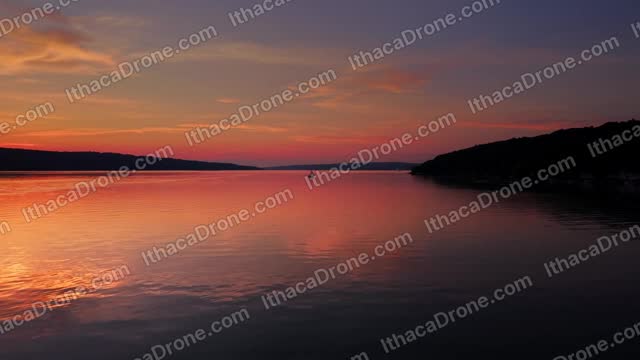
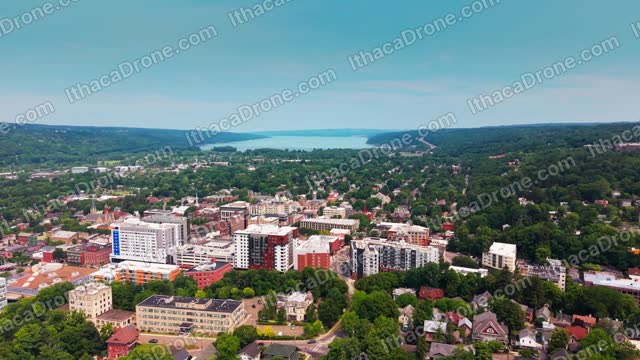
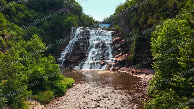
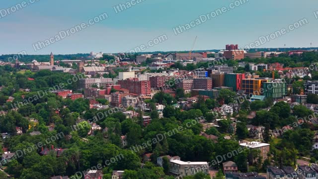
A library of 4K aerial clips of Ithaca, shot by us. Each clip is a flat $100, royalty-free, for unlimited use in your business. Preview, license and download from this site.
How does pricing work?
Every job is quoted for the site. Send the location, the size and what you need, and we reply with one flat price. The quote covers the flight, the processing and the report.
When do thermal solar flights happen?
In clear, strong sun, with the array under load. That is when faults show as heat. We watch the forecast, fly on a day that meets the bar, and reschedule if cloud moves in.
What is in the report, and in what format?
A PDF with every finding classified, ranked by severity and pinned on a site map, with a thermal and photo pair for each one. You also get a spreadsheet export and the raw imagery. All of it sits in your account.
Which areas do you serve?
Tompkins County plus Cayuga, Cortland, Tioga, Chemung, Schuyler and Seneca counties. Sites farther out are quoted case by case.
Do I need to be on site?
No. We need site access arranged and a phone number for the day. You can be anywhere when the report lands in your account.
What about weather?
We do not fly in rain, high wind or fog, and thermal work has its own needs on top of that. If the day does not meet the bar, we move the flight and tell you.
How does footage licensing work?
Pick a clip, pay the flat $100 and download it in 4K. The license is royalty-free and covers unlimited projects for your business, forever. You cannot resell or redistribute the clip as stock.